Description
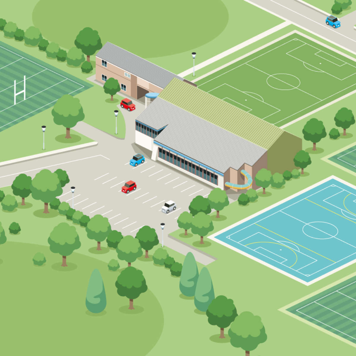
Illustrated site maps are a convenient means of directing visitors around your school premises. Our talented illustrators are extremely proficient at creating detailed site maps that depict your school grounds in a fun and functional way.
Your site map will include a legend (guided by you) for describing the relevant areas of your premises.
Our illustrated site maps are produced using information from satellite imagery and Ordnance Survey mapping data. However, if you have aerial photos of your site we can use those too. Just upload them using the form above.
The aerial information is great for understanding the layout of your school map, but to produce a 3D representation it is very useful for us to have some exterior photos from the ground too. This enables us to see the heights of the various parts of your school. Again, these can be uploaded using the form above.
We will need you to supply a guide to the legend that you require on the sign. ie. information telling us which building is your assembly hall, main entrance etc. You can do this at the time you place the order, or once you have your initial proof of the site map.
The cost of this product primarily covers the creation of the illustration. Once finalised, this artwork will be supplied to you to be used however you wish in the future.
However, you can also choose to have the site map printed on 5mm thick foamex at A2, A1 or A0 size. Just make your choice using the form above. Foamex is a rigid plastic board that is completely weatherproof. It can be used indoors or out. We can also round off the corners and add drill holes in the corners of your signs if you wish.
Once we have produced your illustrated site map, we can reprint it for you in various formats without you having to pay the cost of the illustration again. Your site map artwork is especially relevant for using with our post mounted or post and plank signs.






Reviews
There are no reviews yet.